
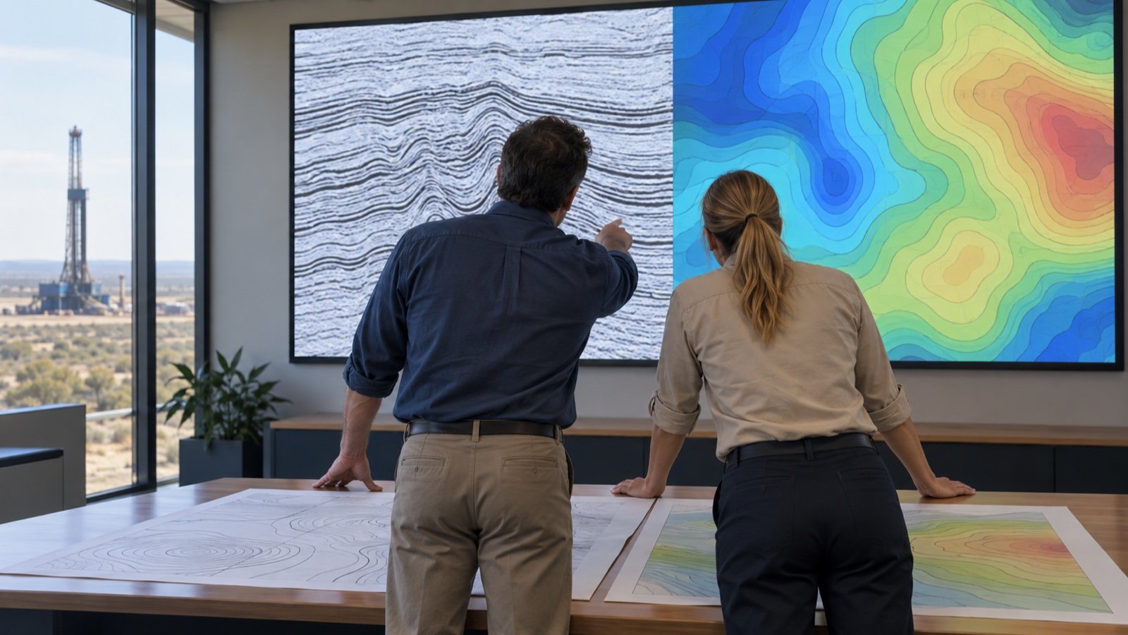
OIL & GAS · TECHNICAL AREA
Geophysics & Exploration
Geophysical acquisition and geochemical interpretation connect exploration survey design with the assessment of hydrocarbon opportunities. The courses bring Running STS and Z/Peller into the wider acquisition context alongside nodal systems, wireless equipment, and sparse, random, and blended seismic survey designs. Common Reflection Surface methods, data quality control, and rapid processing link field measurements with seismic interpretation. Play-based exploration, uncertainty analysis, and optimization connect technical evidence with exploration risk and decision-making. Non-hydrocarbon gases, possible oil rings, fluid inclusions, and stratigraphic traps extend the discussion to fluid composition and hydrocarbon charging. Artificial intelligence applied to geochemical data and isotope geochemistry add complementary approaches to evaluating exploration evidence.
16 COURSES
Courses in this area
Course
What it covers
Suitable roles
Running STS
Addresses operational procedures, planning and safety coordination for the STS operation named in the title within marine survey work. Team responsibilities and communication connect preparation with the conduct of the operation.
Suitable for: Marine Survey Coordinator, Marine Operations Supervisor, Vessel Operations Planner
Z/Peller
Examines operation and handling of Z-Peller azimuth propulsion for vessel positioning during marine survey operations. Steering and thrust control connect vessel movement with survey requirements and operating conditions.
Suitable for: Survey Vessel Operator, Marine Survey Coordinator, Marine Operations Supervisor
Sparse 3D Seismic Data Modelling and Designing (Wireless Equipment)
Explores sparse seismic survey design and modeling with wireless acquisition equipment. Survey geometry and sampling choices are considered in relation to the subsurface information sought.
Suitable for: Survey Design Geophysicist, Acquisition Geophysicist, Seismic Processing Geophysicist
Workshop of Common Reflection Surface (CRS) Method
Introduces the Common Reflection Surface method as an approach to seismic data processing. Relationships between recorded reflections and subsurface interpretation provide the technical context.
Suitable for: Seismic Processing Geophysicist, Exploration Geophysicist, Seismic Interpreter
Play-Based Exploration and Risk Analysis Workshop
Connects play-based exploration with the assessment of geological opportunities and risks. Evidence for the elements of a petroleum system informs the comparison of exploration options.
Suitable for: Exploration Geologist, Petroleum Systems Analyst, Exploration Manager
Nodal Acquisition System in Practice
Covers deployment, positioning, data harvesting and quality control of autonomous seismic nodes in cable-free acquisition. Field records and data checks connect node handling with survey coverage and usable seismic measurements.
Suitable for: Acquisition Geophysicist, Seismic Field Supervisor, Geophysical Field Engineer
Uncertainty Analysis and Optimization – Advanced Workshop (SEG Standard Course)
Reviews uncertainty analysis and optimization in exploration decisions. The emphasis is on how assumptions, data limitations and alternative interpretations affect the evaluation of options.
Suitable for: Exploration Risk Analyst, Exploration Geophysicist, Petroleum Systems Modeler
Simultaneous (Blended) 3D Seismic Data Acquisition
Simultaneous seismic acquisition provides the setting for discussing overlapping source activity and survey design. Acquisition choices are linked to data separation and processing considerations.
Suitable for: Acquisition Geophysicist, Survey Design Geophysicist, Seismic Processing Geophysicist
Random 3D Seismic Data Modelling and Designing
Random survey geometries provide a basis for reviewing seismic modeling and acquisition design. Sampling patterns are considered in relation to coverage and the interpretation of subsurface features.
Suitable for: Survey Design Geophysicist, Acquisition Geophysicist, Seismic Interpreter
Wireless Seismic Data QC and Fast Processing
Links wireless seismic data quality control (QC) with rapid processing and acquisition review. Data consistency and the identification of recording issues connect field measurements with interpretation needs.
Suitable for: Seismic Data QC Specialist, Seismic Processing Geophysicist, Acquisition Geophysicist
Non-Hydrocarbons in Gases
Gas composition provides the context for examining non-hydrocarbon components in exploration samples. Their presence is considered in relation to fluid characterization and the evaluation of gas accumulations.
Suitable for: Petroleum Geochemist, Exploration Geologist, Reservoir Fluid Specialist
Potential of Oil Ring Discovery in Exploratory Gas Fields
Evaluates the possibility of oil rings associated with exploratory gas fields. Geological and fluid evidence is considered when assessing potential liquid hydrocarbon accumulations.
Suitable for: Exploration Geologist, Reservoir Geologist, Petroleum Geochemist
Application of Fluid Inclusion in Hydrocarbon Exploration Studies
Fluid inclusion studies connect evidence preserved in minerals with interpretations of hydrocarbon movement. The topic links subsurface observations with the reconstruction of fluid history.
Suitable for: Petroleum Geochemist, Exploration Geologist, Fluid Inclusion Analyst
Stratigraphic Traps: Evaluation of Hydrocarbon Charging Using Geochemical Techniques
Focuses on hydrocarbon charging in stratigraphic traps using geochemical evidence. Relationships among source fluids, migration and trapping provide context for exploration assessment.
Suitable for: Exploration Geologist, Petroleum Geochemist, Petroleum Systems Modeler
Application of AI in Integration, Interpretation and Analysis of Big Geochemical Data
Brings artificial intelligence (AI) into the integration and analysis of large geochemical datasets. Data relationships and interpretation are considered in support of hydrocarbon exploration.
Suitable for: Petroleum Geochemist, Geoscience Data Scientist, Exploration Data Analyst
Isotope Geochemistry
Isotope geochemistry uses isotopic composition to examine the origin and history of geological materials and fluids. These interpretations contribute to the evaluation of hydrocarbon systems.
Suitable for: Isotope Geochemist, Petroleum Geochemist, Exploration Geologist
Who these courses are for
Exploration Geologist
Petroleum Geochemist
Acquisition Geophysicist
Seismic Processing Geophysicist
Survey Design Geophysicist
Marine Survey Coordinator
HOW TO APPLY
Your next step, when you are ready.
Select APPLY to open the shared application page with Geophysics & Exploration preselected, then choose a course.
Related areas
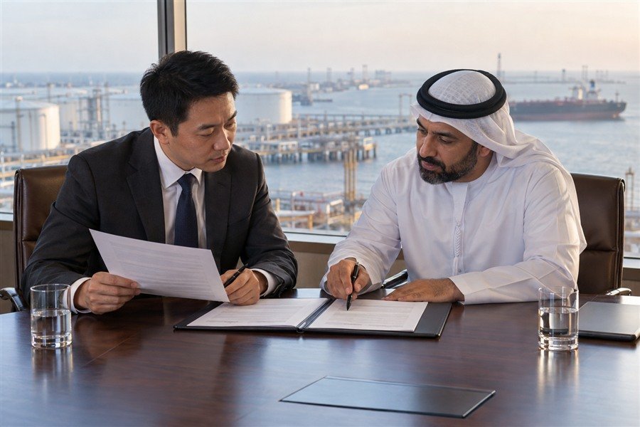
FEATURED AREA
Oil & Gas Law
Examine international legal frameworks, contract responsibilities, risk allocation, dispute resolution, and compliance considerations in oil and gas projects.
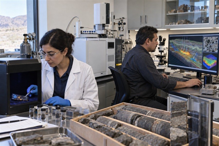
TECHNICAL AREA
Geochemistry & Modeling
Explore petroleum systems, geochemistry, digital rock physics, and integrated modeling for reservoir evaluation and development.
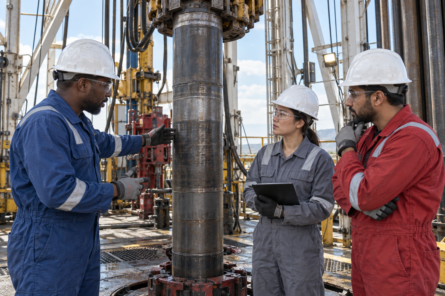
TECHNICAL AREA
Drilling Engineering
Explore advanced drilling methods, offshore rigs, drilling fluids, simulation, and equipment topics for complex well operations.
TECHNICAL AREA
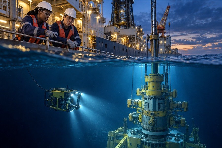
Deepwater & Subsea
Discover deepwater well planning, subsea equipment, drilling operations, completions, and risk management across offshore well development.
TECHNICAL AREA
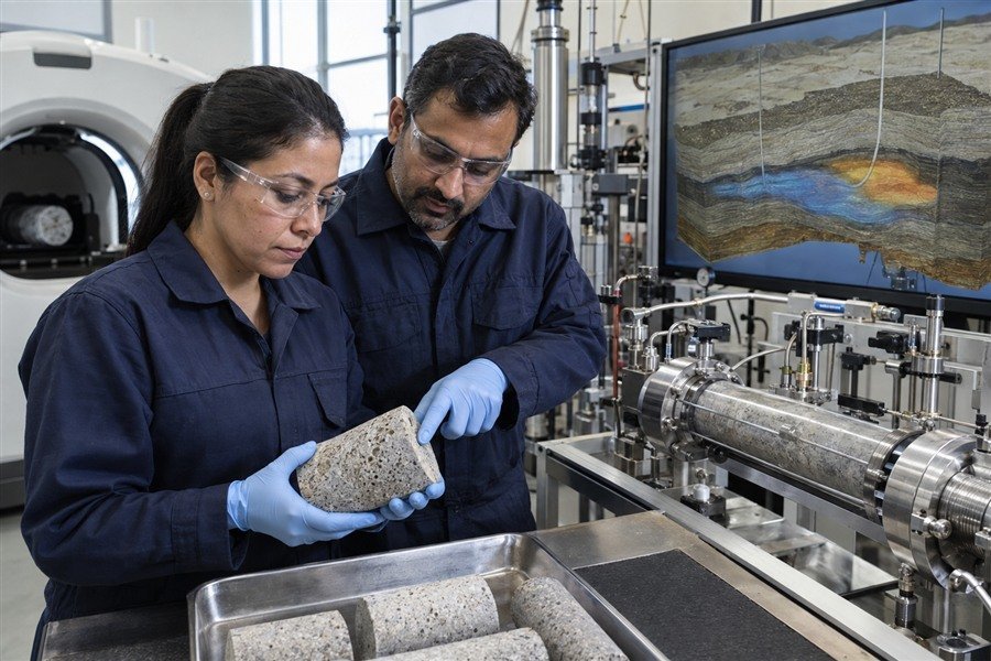
Reservoir & EOR
Connect reservoir evaluation, AI-assisted analysis, enhanced oil recovery, and field development planning with data-driven engineering methods.
TECHNICAL AREA
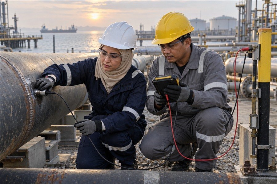
Corrosion Control
Examine material selection, cathodic protection, and advanced inspection methods for corrosion management and asset integrity assessment.